Grundstück zu verkaufen Tragjas, Vlore Bypass


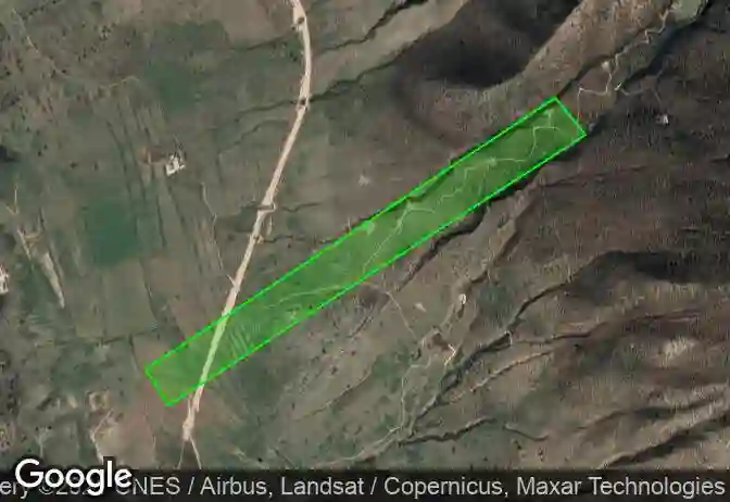
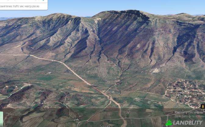
I co-own a well-positioned land that offers fantastic terrain for countless projects in the field of agriculture or renewable energy. As it seems, from what different engineers and architects have told us the land length, width, sloppiness and the surrounding sources favors both Solar Panels & Agricultural investements. I will be providing the details of the land alongside with it’s geographic position. Position in Albania=> Southwest of Albania in the city of Vlora, above Tragjas village, near Orikum in front of Karaburun peninsula. Geographic coordinates 40.344939, 19.514841 Hours of Sun => From 8am until the sunset Electricity=> it has a range of high voltage current poles in the north border of the land Length (east-west)=> 3200 meters (3.2 km) Width (north-south)=> 150 meters (0.15km) Area=> 48 hectares. In this overall area it contains a small forest (oak trees, other small trees and bushes), and a field (the grass is consumed by small cattle) Sloppiness=> from the first km to 1.5 km of the length it has a sloppiness of 12 degrees the rest (1,5km – 3.2km ) it has a sloppiness of 35-40 degrees Formation (geologic material)=> the surface contains red soil and small rocks and the depths contain conglomerate rock ( a type of sedimentary rock) with soil and small rocks Wind =>it is protected from the dangerous cold north-northeast winds and the strongest winds come from southwest (with a speed of 50-60m/s in extreme cases) Distance from the sea (Adriatic sea)=>2400m Extra information=> it has streams in its borders , a water source 2000m away, a highway being built in the bottom of the land (Bypass=the name of the highway). We could arrange a meeting (online or in person) to talk more about all of its details. Contacts- Phone - +355696400903 / +355672470380
